

WATCH NOW
Watch on the app













Could Hurricane Polo affect California? The risks to watch beyond a direct hit
-
Hurricane Polo achieved peak winds of 180 miles per hour alongside a historic 892 millibar pressure reading.
-
Official National Hurricane Center projections keep the core offshore while sweeping south of Baja California.
-
A rapidly strengthening El Niño pattern continues driving unprecedented Category 5 activity across the basin.
The eastern Pacific Ocean is currently witnessing an extraordinary display of tropical power as Hurricane Polo continues its progression across open waters. Having rapidly intensified into a formidable Category 5 storm, the system has prompted continuous monitoring from atmospheric scientists evaluating its prospective trajectory, particularly regarding indirect impacts on Baja California and the potential for moisture surge activity extending northward into southern California.
Ver esta publicación en Instagram
Historical wind speeds and record breaking barometric pressure
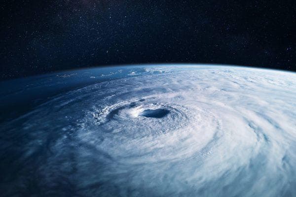
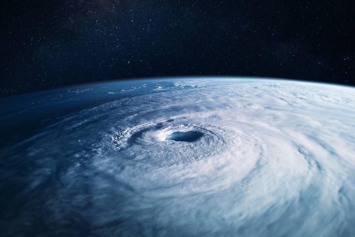
Data released by the National Hurricane Center established that Polo achieved maximum sustained winds reaching 180 miles per hour during its peak intensification phase. The storm’s central pressure dropped to a remarkable 892 millibars, positioning Polo as the second lowest pressure system recorded in the eastern Pacific basin since comprehensive tracking began in 1950. Satellite imaging confirms the cyclone maintains a well defined double eyewall structure despite experiencing structural fluctuations over warmer sea surface temperatures.
Trajectory models and long range California scenarios
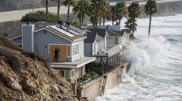
Current forecasting tracks indicate that Polo will move northwestward off the southwestern coast of Mexico while gradually weakening over the next several days. The storm center is anticipated to pass well south of the Baja California peninsula through the weekend. Nevertheless, extended computer models continue evaluating long term environmental steering currents, suggesting that even as a degraded system, outer rainbands and high surf conditions could potentially reach portions of the Golden State.
Ver esta publicación en Instagram
El Niño drives an aggressive Pacific hurricane season
The emergence of Polo aligns directly with a rapidly strengthening El Niño event that is significantly enhancing sea surface temperatures and reducing vertical wind shear across the Pacific basin. Generating 19 named storms and three separate Category 5 hurricanes already this season, environmental conditions remain extraordinarily conducive for continued tropical development as coastal communities prepare for ongoing atmospheric instability through the autumn months.
