

WATCH NOW
Watch on the app




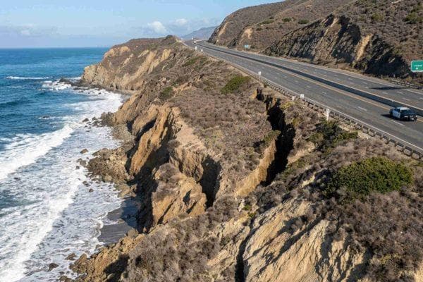










California’s iconic coastal highway faces a frightening threat as a massive crack opens in the cliffs above it
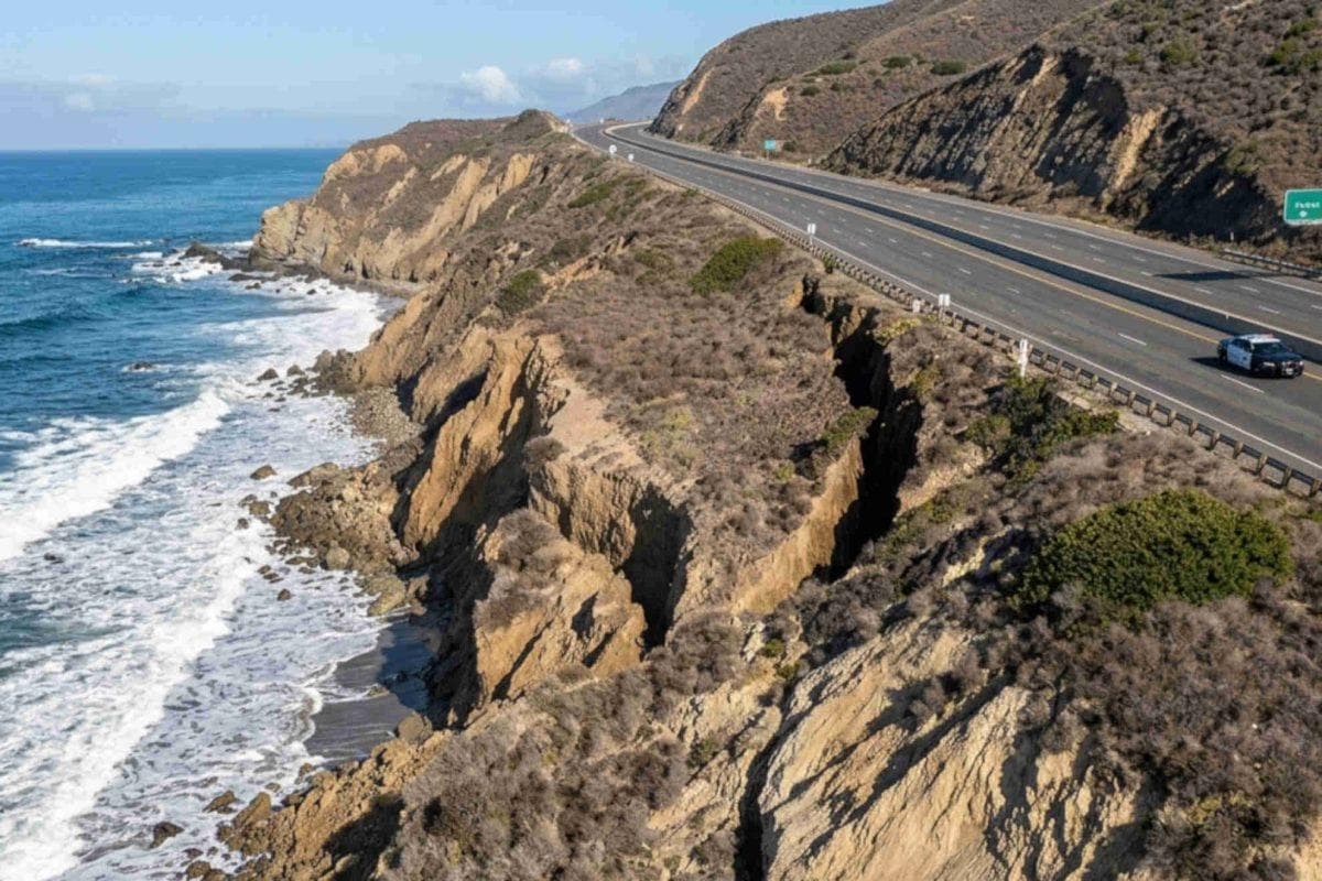
- The emergence of a massive crack threatens the Pacific Coast Highway between Laguna Beach and Newport Beach, forcing preventive lane closures due to an ongoing landslide.
- Coastal erosion specialists warn that the ground fracture could trigger the collapse of the sole highway connecting the area.
- The impact of El Niño and powerful Pacific Ocean surf accelerate landslides near Crystal Cove State Park.
The dangerous cliffside collapse jeopardizing traffic along the state’s most famous coastal route
Raising immediate alarm among traffic authorities and coastal residents, the sudden appearance of a massive crack threatens the Pacific Coast Highway following a hazardous landslide and rockfall recorded near Crystal Cove State Park. In this sense, the geological phenomenon originated near El Moro Canyon as a consequence of severe erosion caused by powerful tropical storms in the Pacific Ocean, leading Caltrans engineers to immediately close southbound lanes to protect drivers. Likewise, specialists at the University of California, Irvine warn that the slope continues to give way actively, creating deep concern among community members and the thousands of motorists who rely daily on this iconic seaside stretch to commute between Orange County towns in Laguna Beach.
Emergency measures and complex challenges to stabilize a constantly shifting slope
Furthermore, the way this massive crack threatens the Pacific Coast Highway complicates regional mobility plans due to the landslide and coastal erosion caused by El Niño, leaving local officials to grapple with an unstable slope that risks disrupting traffic long-term. Additionally, Laguna Beach city spokesperson Laura Ezzell confirmed that stabilizing a oceanfront slope represents a highly complex technical process, meaning residents should prepare for lane closures extending far beyond a few days. Similarly, Professor Brett Sanders emphasized that the fracture runs parallel to the roadway, warning that a larger-scale landslide would completely cut off coastal towns by destroying their primary overland connection.
Ver esta publicación en Instagram
The cumulative impact of El Niño and intense ocean swells hammering Southern California’s coastline
On the other hand, the destructive force of extreme weather during the current season remains relentless, making this massive crack that threatens the Pacific Coast Highway an addition to severe property losses recorded across exclusive Orange County neighborhoods and surrounding areas. Furthermore, the combination of Kelvin waves and El Niño triggered destructive swells that have already caused heavy damage in communities like Malibu, Dana Point, and Long Beach, alongside sudden street flooding in Newport Beach. In conclusion, while emergency crews work against the clock to mitigate the impact on road infrastructure, the terrain’s vulnerability from landslides and coastal erosion underscores the urgent need for long-term contingency plans to preserve safe access for the public.
Technical details of the landslide and traffic impacts
- Exact fault location: The ground fracture sits directly beneath the roadway along the stretch between Laguna Beach and Newport Beach.
- Road safety measures: The California Department of Transportation closed the southbound lane closest to the cliff edge.
- Long-term closure: Local authorities project extended traffic restrictions due to the complexity of slope stabilization works.
