

WATCH NOW
Watch on the app













El Niño could bring dangerous wildfire conditions to parts of the US that rarely see them
-
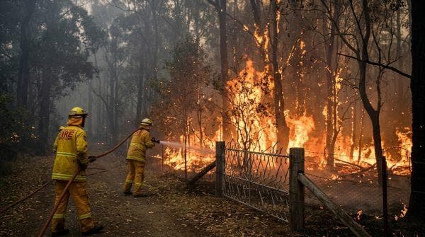
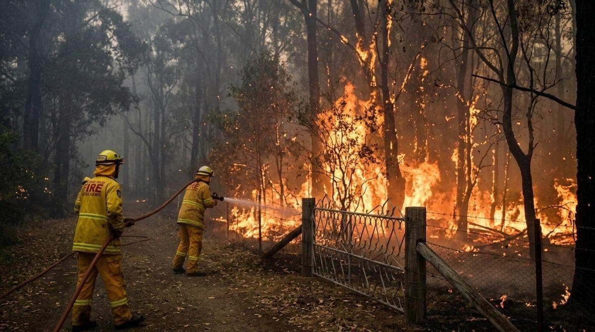
Spring forest fires pose an elevated threat across the northern United States as autumn ocean warming alters traditional precipitation cycles, according to long term satellite monitoring analyzed by federal scientists.
-
Research published in the Journal of Geophysical Research: Atmospheres examined nearly 40 yrs of atmospheric records across 9 geographic coordination centers to identify predictive climate patterns for forestry planning.
-
Forecasters project an 83% chance that current oceanic warming will reach strong intensity through 2027, driving multi agency fire resource allocation across vulnerable northern ecosystems.
A joint scientific investigation conducted by the National Oceanic and Atmospheric Administration and the Cooperative Institute for Research in Environmental Sciences demonstrates that altered jet stream trajectories create extended dry spells across northern states, significantly increasing El Niño wildfire risk throughout forested ecosystems; furthermore, the research team led by scientist Andrew Hoell evaluated satellite imagery, rainfall records and evaporative demand data between 1984 and 2022 to establish direct links between Pacific ocean warming and rapid vegetation moisture loss.
Meanwhile, official climate updates published by the Climate Prediction Center on October 8 and October 15, 2026, anticipate severe soil moisture deficits from January through March 2027, which dries out dense forest fuels in northern states while heavy precipitation impacts southern territories; consequently, environmental authorities continuously monitor seasonal indicators across key states to coordinate emergency response logistics between federal, state, tribal and local agencies before peak fire seasons begin.
Atmospheric circulation and evaporative demand dynamics to manage El Niño wildfire risk
For instance, autumn ocean warming alters atmospheric circulation patterns to form high pressure ridges over northern US latitudes, which reduces winter precipitation while accelerating surface water evaporation; therefore, this combined weather mechanism heightens regional exposure to destructive Spring forest fires during transitional seasonal phases.
In fact, scientists evaluated atmospheric evaporative demand to quantify moisture extraction, proving that insufficient rainfall leaves plant matter ready for rapid fire spread; however, researchers clarified in the Journal of Geophysical Research: Atmospheres that localized wind speeds, terrain topography, and ignition sources ultimately dictate actual fire severity without serving as a site specific disaster forecast.
Ver esta publicación en Instagram
Geographic vulnerability distribution and operational coordination boundaries
-
Northern Rockies operational territory: Experiences elevated spring fire risks across Montana, Idaho, and Wyoming, where mountainous terrain and variable elevations complicate early containment efforts.
-
Eastern Region multi state footprint: Encompasses 20 states across Midwestern and New England territories, where vast agricultural boundaries face heightened vulnerability to Spring forest fires across wildland urban interfaces.
-
Great Basin, Rocky Mountain, and Southern sectors: Display an opposite historical pattern with reduced spring burn probabilities, although dense vegetation stimulated during wet cycles converts into hazardous fuel during subsequent seasons.
-
Interagency resource coordination and El Niño wildfire risk tracking: Both operational zones function as administrative hubs that pool suppression assets among entities managed through the National Interagency Fire Center, maintaining geographic boundaries that do not align with political borders or guarantee uniform weather impacts.
ENSO cycle variations and historical La Niña influence patterns driving Spring forest fires
On another front, evaluating the complete ENSO cycle required analyzing 38 yrs of historical database entries across its 3 distinct phases; consequently, empirical data proves that Pacific climate shifts produce contrasting environmental responses across separate regions of the United States.
More specifically, historical records demonstrate that La Niña conditions elevate large fire probabilities across Southern and Southwest territories during subsequent winter and spring months, shifting risk patterns toward Northern California by the following summer while altering historical Spring forest fires distribution across separate climate regimes; therefore, interpreting seasonal timing and regional susceptibility remains essential for effective emergency management.
Climate Prediction Center forecasts and wildland fire preparation
In parallel, updated reports released by NOAA in October 2026 confirm that Pacific ocean warming continues strengthening, maintaining an 83% probability of reaching strong intensity heading into 2027 and providing operational intelligence up to 1 year in advance; nevertheless, atmospheric scientists emphasize that emergency planners must integrate these historical climate signals with real time weather observations.
Beyond current projections, civil protection agencies will continuously monitor localized drought trends and fuel moisture levels throughout upcoming months to adjust regional threat levels; ultimately, combining these advanced meteorological models enhances institutional budget planning and tactical suppression deployment to mitigate operational vulnerabilities tied directly to El Niño wildfire risk while preparing land managers to respond effectively to early season Spring forest fires.
