

WATCH NOW
Watch on the app













Los Angeles and Ventura may get relief from the winds, but another weather threat remains
-
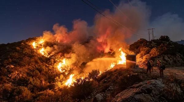
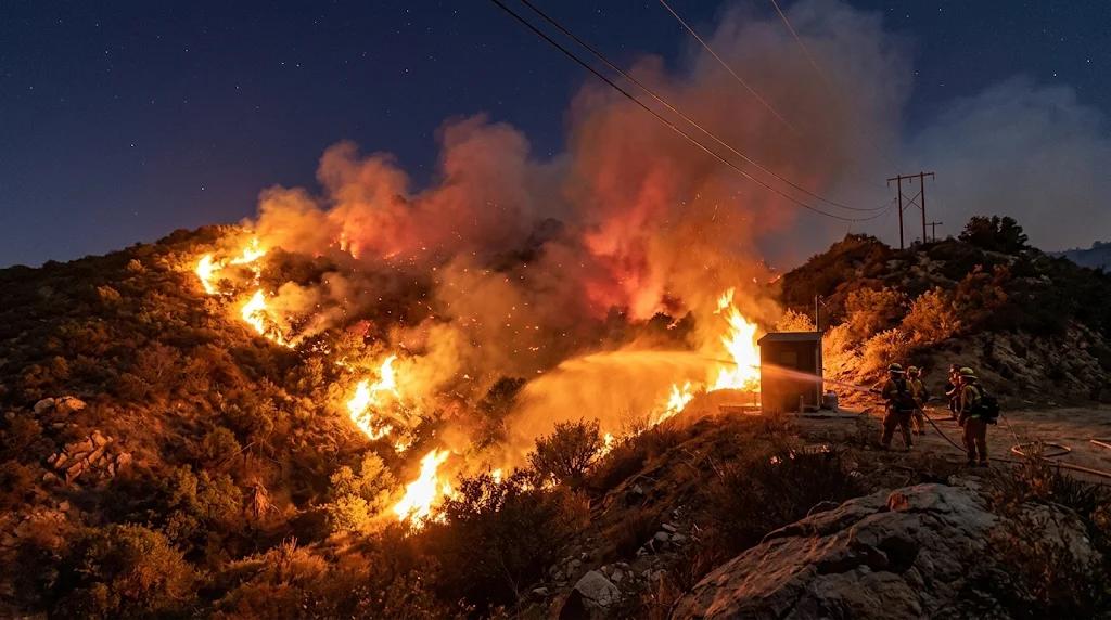
Santa Ana winds kept fire danger levels elevated across the region over the weekend despite winds beginning to ease late Saturday night.
-
Weather officials confirmed that low humidity and prolonged high heat sustained critical wildfire conditions throughout local mountain corridors.
-
Emergency management agencies urged residents to maintain safety precautions due to extremely dry vegetation accumulated across local valleys.
During an official briefing issued by the National Weather Service, meteorologists confirmed that Southern California wildfire risk remains high despite easing Santa Ana winds, describing a critical weather setup driven by gusts reaching between 30 and 50 mph along with historic humidity drops across Los Angeles and Ventura counties; furthermore, NWS meteorologist Rich Thompson in Oxnard noted that conditions ranged between elevated and critical danger, warning that although offshore wind speeds peaked on Saturday, lingering dry air will continue creating favorable conditions for fire spread early this week.
On the other hand, reports published by the Los Angeles Times highlighted that a red flag warning remained active from 2:00 a.m. to 6:00 p.m. on Saturday across the western San Gabriel, Santa Susana and Santa Monica mountains alongside the Santa Clarita Valley; moreover, weather instruments recorded relative humidity levels plunging between 8% and 20%, preventing nocturnal moisture recovery and leaving fine fuels like dry brush and grasses extremely vulnerable to rapid fire growth between Friday night and Saturday afternoon.
Santa Ana winds pushed dry air seaward as coastal hazards mounted
Offshore atmospheric pressure gradients drove dry inland air directly toward coastal communities, accelerating soil desiccation while straining emergency response teams:
-
Santa Ana winds warnings: Ventura County remained under an official wind advisory that expired at 2:00 p.m. on Saturday following intense offshore gusts.
-
Peak temperatures: Thermometers surged well above seasonal averages, climbing up to near 90 °F across multiple inland valleys.
-
Southern California wildfire threat: Analysts cited by Weatherboy warned that the highest risk period coincided with peak winds between Friday evening and Saturday afternoon.
-
Coastal alerts: High surf warnings remained active along local beaches, bringing dangerous rip currents through Tuesday morning.
Additionally, meteorologists noted that daytime temperatures will gradually decline toward 80 °F through midweek; nevertheless, weather forecasters emphasized that this minor cooling trend will not eliminate fire risks due to persistent low moisture.

Comprehensive infographic highlighting critical fire weather conditions and advisory data related to the elevated Southern California wildfire threat driven by dry Santa Ana winds.
Maritime warnings and upcoming weather pattern shifts
Coastal authorities continued monitoring sea conditions as elevated surf generated hazardous rip currents along regional beaches through Tuesday morning; furthermore, forecasters warned that minor coastal flooding could impact low-lying areas during early morning high tides.
In addition, weather modeling indicates a cooler, more unstable pattern heading into next weekend with potential rain chances; ultimately, emergency agencies stress that continuous monitoring remains essential to protect communities facing any resurgence of a Southern California wildfire.
