

WATCH NOW
Watch on the app





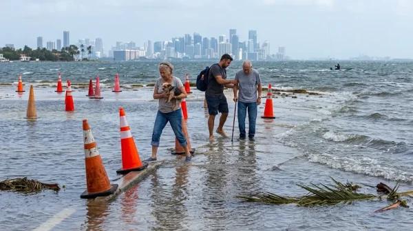









Miami could face new flooding as king tides return before Thanksgiving
-
Coastal communities across the region face flooded streets as seasonal sea level surges push saltwater past bayfront barriers for hours.
-
Local emergency managers warn about recurrent tidal inundations along low elevation neighborhoods between November 6 and November 9, 2026.
-
Scientific models confirm that strong wind gusts and sudden heavy rainfalls worsen urban roadway disruptions during peak astronomical alignments.
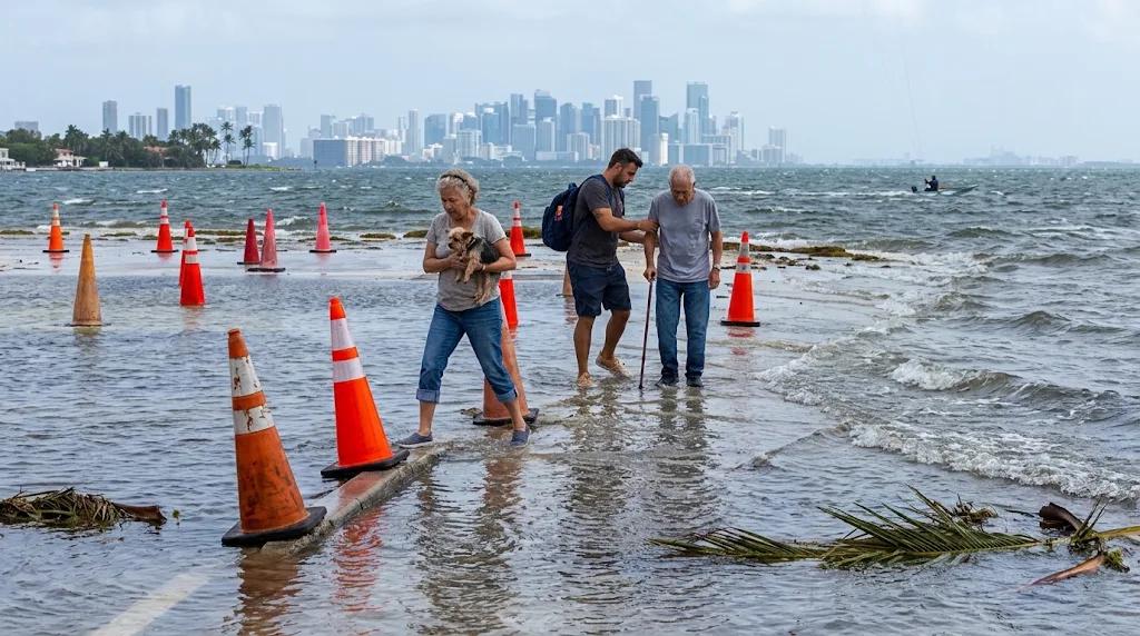
County officials warned residents that upcoming king tides to South Florida will flood coastal roads and low-lying neighborhoods; consequently, emergency managers issued preventive alerts for November 6 through November 9, 2026, while advising motorists to scout alternative travel routes before rising waters cover normally dry asphalt.
Scientists at the National Oceanic and Atmospheric Administration (NOAA) explained how the combined gravitational pull of the Moon and the Sun creates these extreme ocean swells; moreover, technical reports confirm a second critical window hitting regional roadways between November 23 and November 26, 2026, with saltwater encroaching deep into inland canal networks.
King tides in South Florida are flooding streets because of the sunny day flooding phenomenon
Oceanic researchers confirm that spring tides tied to new moon and full moon phases align with the lunar perigee to raise coastal water lines for hours; meanwhile, local meteorologists report that sea waves breach seawalls without any rainfall, cautioning that conditions worsen dramatically when gusty winds and high ocean swells hit the shoreline.
On the other hand, county transit experts advise parking vehicles on elevated terrain before high tide peaks, recommending thorough freshwater undercarriage rinses to prevent severe metallic corrosion. Furthermore, public health agencies prohibit pedestrians from wading through standing water pools because urban runoff carries industrial chemicals and sharp debris.
Top risks from flooded streets in coastal communities
Atmospheric forces create severe operational hurdles across the Miami-Dade urban corridor:
-
Transit disruptions: Intermittent street flooding covers major thoroughfares while forcing emergency detours for regional public buses.
-
Vehicle damage: Direct exposure to salty ocean water accelerates mechanical decay while destroying delicate automotive electrical systems.
-
Health hazards: Stagnant floodwater harbors urban pathogens and sharp submerged glass dangerous to pedestrians.
-
Property damage: Low-lying residential structures suffer persistent foundation leaks that trigger costly structural repair bills.
-
Commercial losses: Local storefronts report lower walk-in foot traffic as flooded streets hinder customer parking access.
-
Infrastructure decay: Underground power grids and municipal road bases face accelerated corrosion from high salinity levels.
Additionally, maritime researchers noted how recurring flooded streets degrade municipal asphalt layers, driving up local road maintenance budgets year after year. Besides that, officials advise residents to monitor the NOAA Sea Level Rise Viewer digital tool to identify high risk flood zones across their neighborhoods.
Institutional prevention against high tides
Urban planning experts urge drivers to consult the interactive maps provided by Miami-Dade County to track projected water elevations in real time while emergency response crews deploy monitoring units near major drainage canals. Additionally, local fire rescue units emphasize avoiding submerged intersections to prevent catastrophic hydroplaning accidents during peak tides.
Meanwhile, public works crews expanded maintenance inspections on drainage pump stations to maximize surface runoff capacity during peak high tides; precisely, international oceanographers closely track these astronomical events to refine long-range predictive models for future king tides to South Florida.
