













Heavy rain could flood roads across Texas and officials are warning drivers to prepare before heading out
-
Governor Greg Abbott activated state emergency resources due to a slow moving cold front carrying tropical moisture.
-
Forecasters predict rainfall totals up to eight inches and widespread flash flooding risks starting Wednesday.
-
The State Emergency Operations Center transitioned to round the clock operations to coordinate local response.
The state of Texas is on high alert as a slow moving cold front combining with tropical moisture threatens to deliver heavy rainfall and severe flash flooding across vast regions. Governor Greg Abbott issued an urgent warning advising residents to prepare immediately before storms begin impacting roadways and low lying areas on Wednesday. State emergency agencies activated extensive response resources to protect communities throughout North, Central and South Central Texas, maintaining dedicated surveillance along high risk travel arteries including the Interstate 35 corridor.
Ver esta publicación en Instagram
Massive mobilization of state emergency response assets
To manage potential flood impacts, Texas state authorities deployed over 1900 emergency response personnel and more than 1500 specialized vehicles and assets. The Texas National Guard alongside Texas A&M Task Force 1 readied swift water rescue boats, high water vehicles, and Black Hawk helicopters for potential motorist extractions and community evacuations. Additionally, the State Emergency Operations Center elevated its operational status to 24 hours a day, 7 days a week, ensuring seamless coordination with local emergency management officials and road monitoring crews.
High risk geographic zones and projected rainfall totals
National Weather Service forecasts indicate that the heaviest rainfall will target regions along and west of the Interstate 35 corridor, impacting major urban centers including Dallas, Fort Worth, Austin, and San Antonio. Meteorologists project widespread rainfall accumulations between two and six inches, with localized areas receiving up to eight inches where storms stall repeatedly. State officials urged residents to monitor local weather warnings continuously, secure emergency communication methods, and avoid unnecessary travel during peak rainfall periods.
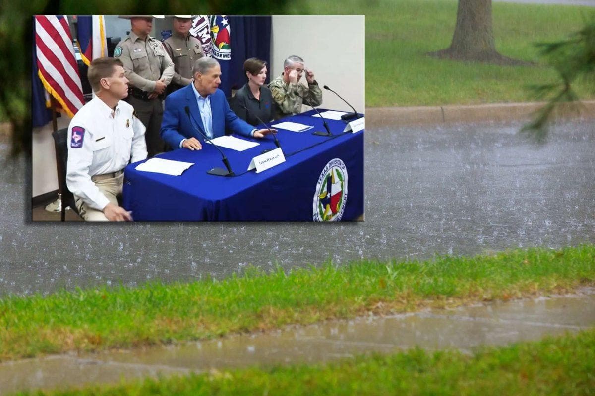
Governor Abbott held a briefing at the State Emergency Operations Center to provide an update on the state’s preparations ahead severe weather this week.
Texans stay alert w/ local weather updates.
Turn around. Don’t drown. pic.twitter.com/oC7mwIgxLw
— Governor Abbott Press Office (@GovAbbottPress) September 29, 2026
Critical safety advisories for motorists on flooded roads
Transportation officials strongly emphasized the lifesaving rule of turning around when encountering water covered roads rather than attempting to cross flooded passages. As little as six inches of fast moving water can cause drivers to lose control of heavy vehicles, making roadway hazards particularly dangerous during nighttime driving hours. State response teams will remain deployed near river basins, low water crossings, and major highways throughout the weather event to assist stranded drivers and preserve public safety.
