

WATCH NOW
Watch on the app









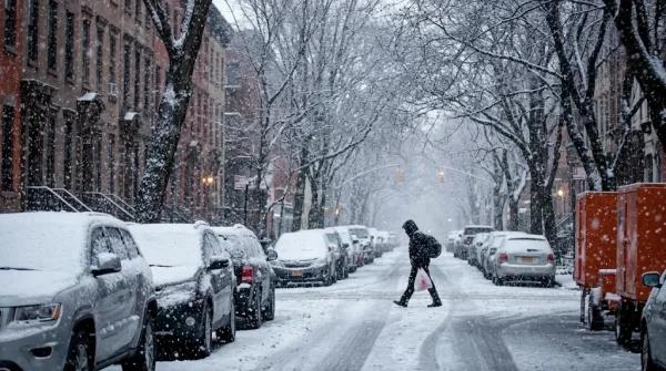





New York faces a chilly wake-up call as a potential nor’easter moves toward the Northeast
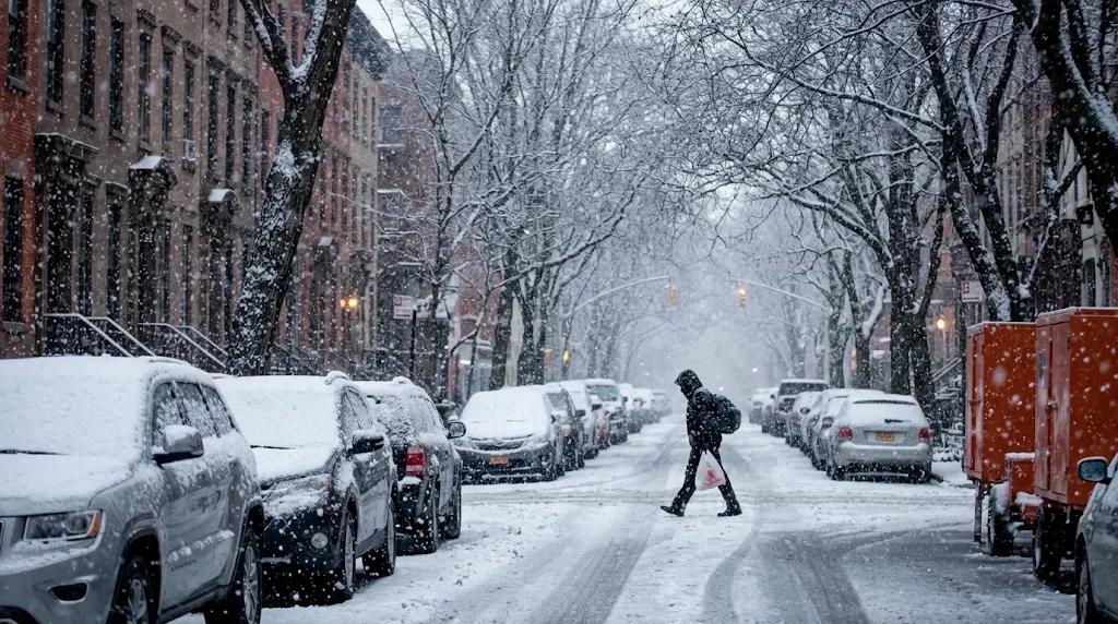
-
Winter storm warnings take effect across the Northeast as an approaching coastal system threatens to freeze shoreline communities with plunging temperatures.
-
Meteorological models predict significant snow accumulations and intense wind gusts across multiple coastal states.
-
Continental authorities advise immediate preparations ahead of potential transport delays and power disruptions.
A powerful atmospheric system advances toward the Eastern Seaboard while an impending Nor’easter in New York, defined as a weather mechanism combining arctic cold, Atlantic moisture, violent winds and coastal flooding risks, threatens to deliver the season’s first major snowfall between Nov 12 and Nov 14, 2026; additionally, the pattern promises a sharp temperature drop as it clears a direct path for a dense Canadian polar air mass.
The FOX Forecast Center predicts that the storm will organize over the Ohio Valley on Nov 11 before moving actively toward the Mid-Atlantic and New England regions; consequently, this polar air mass will affect over 160M residents by radically altering typical autumn weather conditions along the entire Interstate 95 corridor.
Three atmospheric tracks will determine regional weather intensity
The advancement of the low pressure center presents 3 distinct trajectories conditioned by the polar jet stream, described as a ribbon of strong high altitude winds separating different temperature air masses, alongside disruptions within the Arctic stratospheric polar vortex; in fact, an inland route across the Great Lakes would pull winter precipitation away from the coast while elevated terrain accumulates heavy frozen layers during this active winter storm.
On the other hand, a track closer to the coastline would intensify urban wind gusts and heavy rainfall, although limited cold air availability along the immediate littoral and higher surface temperatures will hinder snow accumulation in lower elevations; accordingly, if the disturbance pushes too far out into the Atlantic Ocean, snowfall intensity will drop dramatically across the region during this seasonal event.
Nor’easter in New York intensifies snowfall conditions during the weekend
Initial light rainfall over the Ohio Valley will gradually evolve through Nov 12 into persistent downpours that complicate ground transportation, triggering widespread winter storm advisories across neighboring states; likewise, meteorologists forecast optimal dynamics for snow accumulation across upstate New York, Vermont, New Hampshire, and Maine on Nov 13.
Meanwhile, brisk northwestern winds will sustain residual snow showers through Nov 14 as the main low pressure system migrates toward eastern Canada; nevertheless, thermometers will drop well below average benchmarks from the Appalachian chain down into central Pennsylvania as this Nor’easter in New York releases a trailing arctic plunge.
Polar cooling dynamics and sharp temperature drop projections
-
Nor’easter in New York response: The freezing air mass from this winter storm will reach the Gulf Coast and Florida by Nov 15 to deliver an abrupt temperature plunge.
-
West Coast atmospheric instability: The NOAA Climate Prediction Center monitors atmospheric rivers driving severe rain and snow.
-
Thermal population shifts: Preceding Tuesday conditions exposed 300M people to unseasonable warmth versus just 4M facing below average cold.
-
Precipitation transition dynamics: A secondary coastal low could rapidly transform heavy rain into persistent snow along key transit routes.
Subsequently, while current forecasts cannot establish exact high and low temperature ranges per city due to time distance, weather agencies urge residents to implement proactive shelter plans as officials track the eventual footprint of this Nor’easter in New York.
