

WATCH NOW
Watch on the app













Miami’s ambitious plan to ditch its car-dependent reputation faces a costly reality
-
A proposed Miami pedestrian plan seeks to transform urban mobility while reshaping a car dependent reality across South Florida this November through a massive 225-mile trail network.
-
City leaders and community advocates want to prove that Miami can join walkable cities like New York, Boston, or San Francisco by boosting transit safety.
-
Regional authorities continue coordinating funding and design strategies to complete the ambitious metropolitan pathway and protect runners, cyclists, and pedestrians.
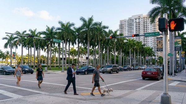
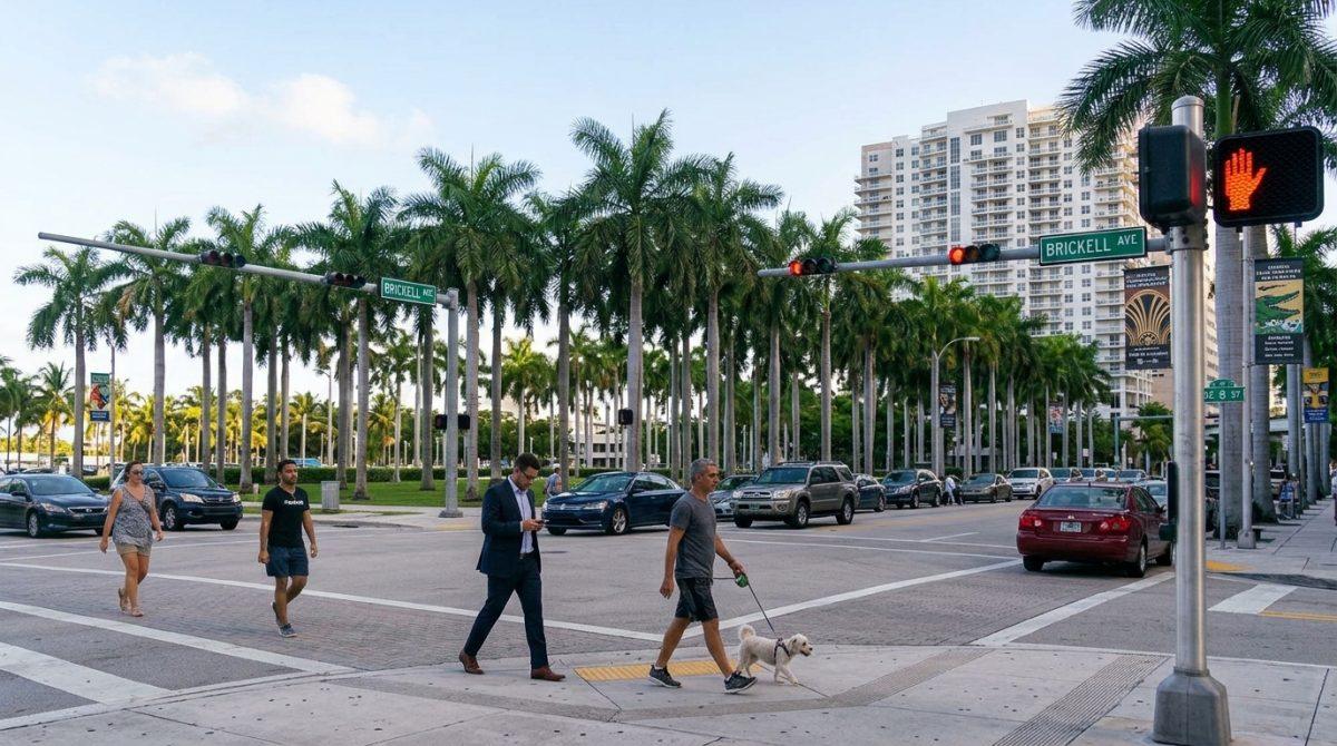
South Florida remains a challenging environment for walkers because speeding vehicles, disconnected streets and excessively short pedestrian signals complicate daily commuting for anyone traveling on foot; local leaders want to prove that Miami can join the ranks of walkable cities like New York, Boston, or San Francisco, betting that a vast 225-mile trail network will help resolve these urban issues, and municipal officials are redoubling efforts on the Miami Loop, a countywide trail network designed to connect a maze of paths for pedestrians, cyclists, runners and green spaces.
Meanwhile, this ambitious initiative tests whether municipal, county, state and federal authorities can collaborate effectively to bring the project to fruition; planners have kept the venture moving since 2015, pushing past multiple delays over the past decade despite receiving strong backing from local leaders, transit advocates and residents, while massive undertaking scales and millions of dollars in budget constraints continue to challenge the development of several trail segments across the region.
Progress and delays within the inner core Car dependent network
Initial construction crews focus heavily on completing the inner core, which encompasses 6 primary trails concentrated mainly within the city of Miami; former state representative Julio Robaina, who serves as a volunteer liaison between various agencies, explains that much of this inner network already operates in varying degrees, highlighting notable components such as The Underline, a 10-mile linear park built beneath the Metrorail, and the Commodore Trail, a 5-mile path running through Coconut Grove and Coral Gables.
Concurrently, other segments face significant planning delays or funding freezes that push back their final completion dates well into the next decade; builders delayed construction on the Heritage Trail beneath the I-395 Signature Bridge until 2031 after federal grant modifications impacted financial support, whereas engineers finalized designs for the Ludlam Trail with plans to break ground on its first phase by 2028.
Verified facts on urban funding and infrastructure challenges
-
The Trust for Public Land reports that officials dedicate only 6 percent of Miami territory to parks and recreational areas, falling significantly below the national average of 15 percent.
-
The Miami City Commission approved $5M in October to fund the design and construction of Ludlam Trail segments within municipal boundaries.
-
Regional transit organizations like Transit Alliance Miami emphasize that overcoming a deeply entrenched car dependent culture requires coordinated zoning reforms and dedicated public investments.
-
Urban planning groups note that completing the outer ring of the 225-mile trail network depends entirely on long-term intergovernmental agreements between Miami-Dade County and local municipalities.
How local leaders and advocates drive the Miami pedestrian plan
Community organizers emphasize that transforming regional mobility demands an active push from residents who navigate dangerous streets daily; public workshops and leadership summits held at institutions like Miami Dade College demonstrate a strong public willingness to substitute car trips with safe walking and biking routes if proper infrastructure emerges, and municipal commissioners have established dedicated oversight committees to track monthly progress and maintain open communication across different government entities under a Car dependent model.
Subsequently, proponents remain optimistic that community engagement and innovative zoning incentives will secure the necessary resources to finish the network; local stakeholders continue refining funding strategies and pushing past bureaucratic delays, ensuring that the overarching goal of the Miami pedestrian plan keeps advancing toward delivering a safer, more connected environment for everyone across the complete 225-mile trail network.
