

WATCH NOW
Watch on the app














Florida braces for up to 12 inches of rain: These counties face the biggest flooding threat
-
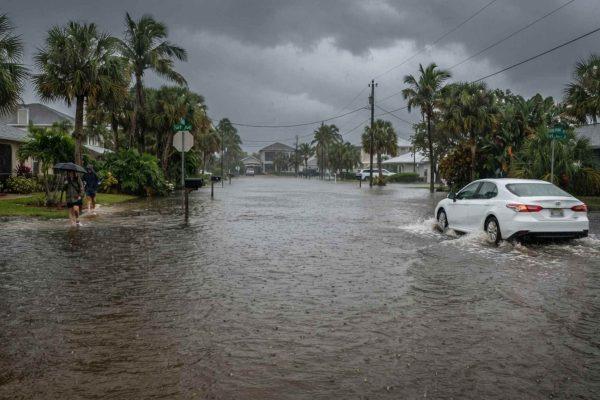
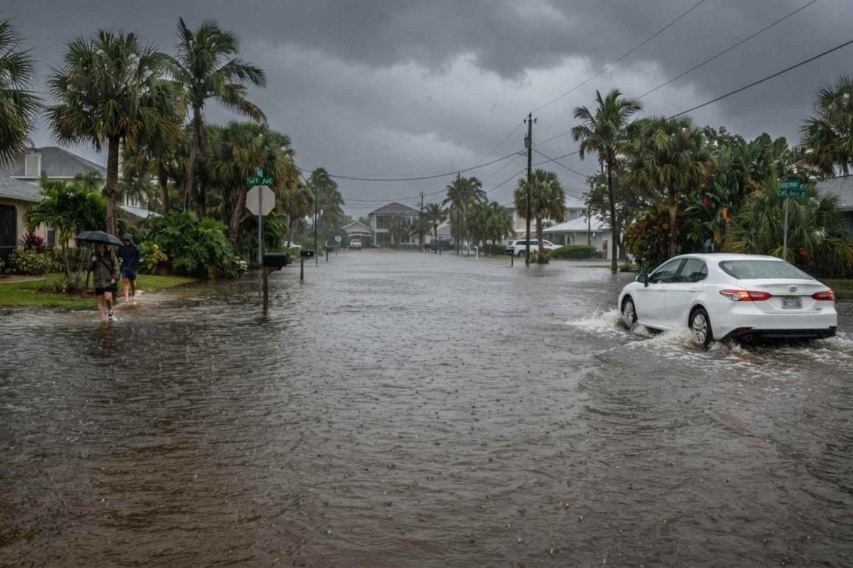
Central Florida remains under an active flood watch as relentless rainstorms threaten to dump up to twelve inches of water through Friday.
-
Coastal communities including Port Orange and Daytona Beach have already recorded substantial rainfall totals over the past twenty four hours.
-
Ten counties face heightened flooding risks, including Volusia, Orange, Osceola, Seminole, and Brevard, where saturated ground worsens runoff concerns.
Residents across Central Florida are bracing for several consecutive days of hazardous weather as a persistent storm system threatens to unleash heavy rainfall and widespread flooding through Friday. According to the latest meteorological updates, rounds of showers and embedded thunderstorms have already drenched coastal areas, leaving local drainage infrastructure under mounting pressure. Over the past twenty four hours alone, Port Orange recorded 3.32 inches of rain, while Daytona Beach received 2.21 inches and Ponce Inlet measured 2.18 inches, setting the stage for dangerous water accumulation as additional rain bands move ashore.
Ver esta publicación en Instagram
Ten counties placed under active flood watch through Friday
Forecasters warn that repeated waves of downpours will continue impacting the region over the coming days, accompanied by breezy conditions featuring sustained winds between fifteen and twenty five miles per hour and gusts reaching thirty miles per hour along the coast. Consequently, weather officials have issued an expansive flood watch covering ten Central Florida counties: Volusia, Seminole, Orange, Osceola, Flagler, Okeechobee, Brevard, Indian River, St. Lucie, and Martin. Emergency management teams urge motorists to avoid driving through standing water and encourage homeowners in vulnerable neighborhoods to utilize local sandbag distribution sites before heavier bands arrive.
Saturated terrain heightens danger after recent historic floods
The impending deluge carries heightened urgency because it strikes just two weeks after Brevard County endured catastrophic rainfall exceeding twenty inches during an earlier November storm event. Communities such as Palm Bay are still actively recovering from that historic flooding, which caused severe property damage and resulted in tragic fatalities earlier this month. Because local waterways, retention ponds and soil layers remain completely saturated from those prior storms, even moderate rainfall rates could quickly trigger localized flash flooding across urban streets and low lying residential subdivisions.
Ver esta publicación en Instagram
Dry and sunny relief expected to arrive by the weekend
Fortunately, meteorological models indicate that the prolonged stretch of inclement weather will finally clear out in time for the weekend. Rain chances are projected to drop sharply to thirty percent on Saturday as drier air filters into the peninsula, paving the way for mostly sunny skies and a minimal ten percent chance of precipitation on Sunday. Until that welcome clearing arrives, residents across Central Florida are advised to monitor local weather alerts closely and prioritize safety amid rapidly changing road conditions.