

WATCH NOW
Watch on the app






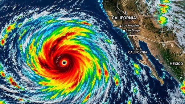








California braces for Hurricane Rachel as storm makes dramatic U-turn in the Pacific
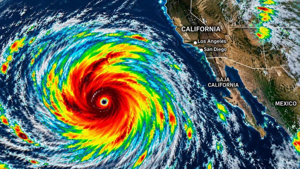
California is watching an unusual tropical weather threat develop in the Pacific, as Hurricane Rachel’s shifting path raises questions about how much of the storm could reach Southern California and when residents might begin feeling its effects.
San Diego is drawing particular attention because of its proximity to the Mexican border and the Pacific coast. But the concern extends beyond one city. Depending on how Rachel evolves, coastal communities, inland valleys and desert areas could experience different impacts, even if the storm’s center never makes landfall in California.
The biggest question is no longer simply where Rachel is heading. It is whether the system can carry enough tropical moisture and energy north to create dangerous conditions far from its original track.
When could Rachel reach California?
According to the National Hurricane Center’s early Thursday, October 8 advisory, Rachel has weakened into a tropical storm, with maximum sustained winds of 70 mph. The system was located roughly 895 miles west of the southern tip of Baja California and was expected to turn northeast later in the week.
Forecast projections suggest the storm could approach northern Baja California by early Sunday, October 11, with its center potentially reaching land approximately 100 miles south of San Diego. However, hazardous conditions along Southern California’s coastline could begin as early as Saturday night.
That does not mean a hurricane is expected to strike San Diego. Rachel is forecast to weaken considerably before approaching land, and the precise location of its eventual landfall remains uncertain.
Which California cities could be hit hardest?
San Diego and coastal Orange County are among the areas receiving the closest attention because of their proximity to the projected track.
San Diego: Coastal neighborhoods, beaches and low-lying areas could experience dangerous surf, strong rip currents and periods of heavy rainfall. The probability of tropical-storm-force winds remains below 10% in the latest reporting, although that could change.
Orange County: Communities including Huntington Beach, Newport Beach and Laguna Beach could face hazardous ocean conditions. The storm’s forecast uncertainty extends as far north as Anaheim.
Los Angeles and Malibu: These areas are farther from the projected center, but tropical moisture could still increase rainfall and flash-flooding concerns.
Palm Springs and Big Bear: Inland and mountain communities could face localized flooding if moisture associated with Rachel spreads across Southern California. Desert roads, washes and areas with poor drainage may be particularly vulnerable.
Why a weaker tropical storm could still be dangerous
One of the biggest misconceptions about tropical storms is that the strongest winds always represent the greatest danger.
Rachel could weaken significantly before reaching the region while still sending powerful ocean swells toward California’s beaches. The National Hurricane Center has warned that swells generated by the storm are expected to build along Southern California and northern Baja California through the weekend, creating potentially life-threatening surf and rip currents.
Heavy rainfall is another concern. Tropical moisture interacting with Southern California’s mountains and desert terrain can produce localized flooding, especially in dry washes, steep canyons and areas vulnerable to rapid runoff.
The storm’s weakening trend is encouraging, but it does not eliminate those hazards.
What residents should watch before the weekend
The most important period to monitor is Saturday, October 10, through Sunday, October 11, when the storm’s northward turn could bring its effects closer to California.
Residents should pay particular attention to local beach advisories, flash-flood alerts and updated forecasts. Anyone planning coastal activities should be cautious even if skies appear relatively calm, because dangerous surf can arrive before the storm itself.
As of the early October 8 advisory, the National Hurricane Center had issued no coastal tropical cyclone watches or warnings for Rachel.
For now, the forecast does not establish that Rachel will strike California directly. But its unusual change in direction has placed Southern California on alert for a weekend when the most serious threat may come not from a hurricane making landfall, but from the rain, waves and flooding left in its wake.
