

WATCH NOW
Watch on the app













Florida and Gulf Coast states face a new tropical threat as Isaias moves closer to hurricane strength
- The National Hurricane Center expects tropical storm Isaias to gain strength quickly over the warm waters of the Gulf of Mexico.
- Florida Governor Ron DeSantis declared a state of emergency in twenty-five counties ahead of the potential hurricane impact.
- Authorities warn about weather risks featuring storm surges, heavy rains and damaging winds stretching from Louisiana to Florida.
Tropical storm Isaias triggers maximum alerts on the U.S. coast
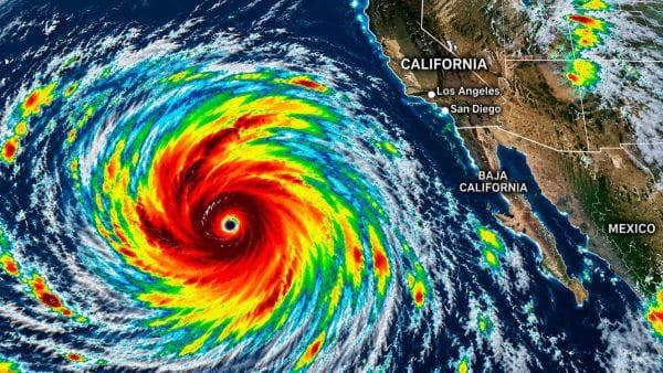
The 2026 Atlantic season prepares for a potential drastic turn with the evolution of tropical storm Isaias, which formed recently in the southwest of the Gulf of Mexico and keeps authorities in Florida and other neighboring states on edge. With maximum sustained winds reaching forty miles per hour and gusts up to fifty miles per hour, the system moves at about eight miles per hour toward the east-northeast while meteorologists anticipate notable strengthening during the next twenty-four to forty-eight hours. Facing this challenging weather scenario, Florida Governor Ron DeSantis took action by declaring a state of emergency across twenty-five counties to mobilize resources and anticipate any critical hurricane scenario putting regional communities at risk.
Official trajectory and key areas in the sights of meteorologists
Similarly, the most updated forecasts from the National Hurricane Center detail that the storm phenomenon will gradually turn northward to approach the northern coast of the Gulf of Mexico in the United States between Friday night and early Saturday morning. Furthermore, along its path over the central Gulf waters, the system could reach maximum intensity near one hundred ten miles per hour, a threshold transforming it officially into a category 2 hurricane capable of generating considerable havoc. Likewise, areas needing strict vigilance against the storm include southeast Louisiana and the New Orleans area, the Mississippi coast with locations like Biloxi, Mobile Bay in Alabama and the Florida Panhandle alongside the Big Bend sector, where counties like Escambia, Bay and Okaloosa already activated preventive protocols.
Satellite imagery on @SynopticWX shows Isaias becoming better organized as it moves through an environment favorable for additional development. The storm is forecast to continue strengthening and become a hurricane as it moves toward the northern Gulf Coast later this week. Track Isaias yourself with the latest satellite imagery and models! Check it out: https://t.co/Kh2MPRW6SM for much more!
— BAM Weather (@bam_weather) October 7, 2026
Latent risks of storm surges and official recommendations
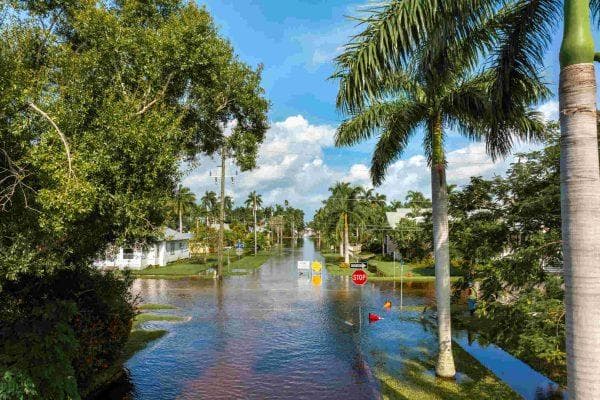
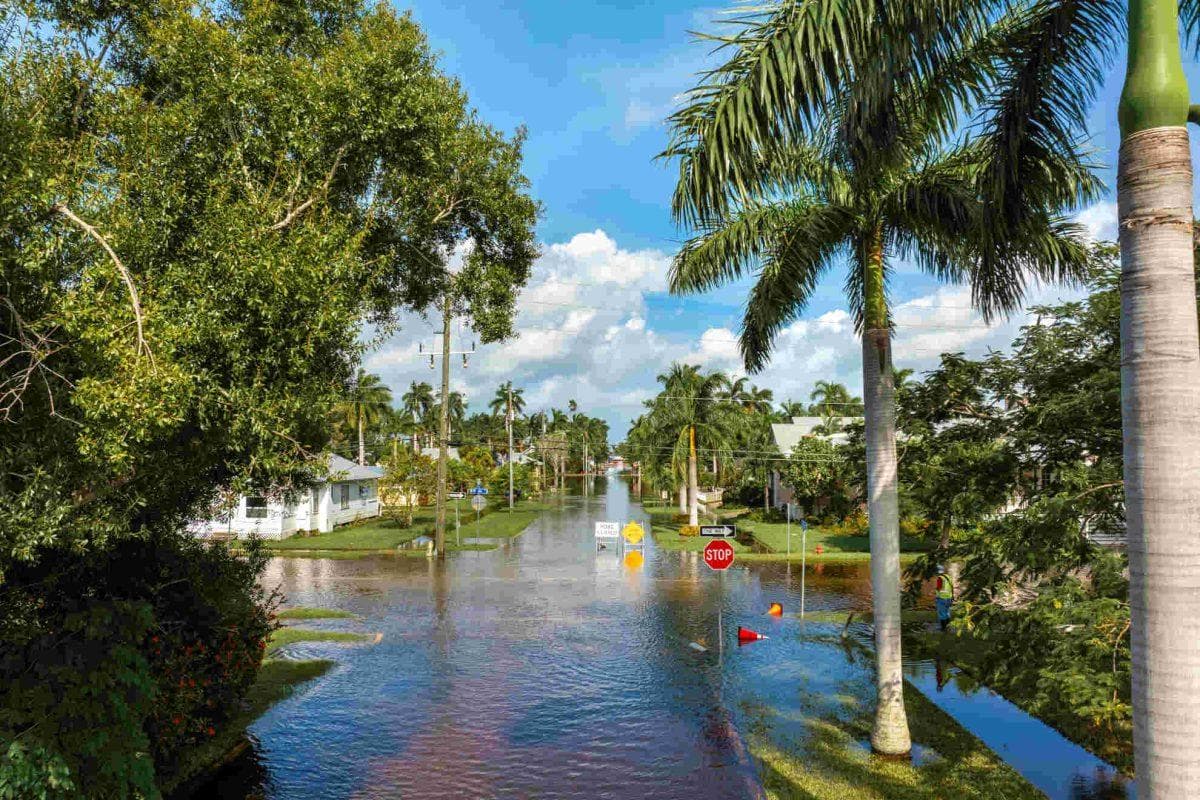
Beyond the exact point where it decides to make landfall, the wide circulation of the storm will unleash a series of severe weather threats affecting areas far from the central coast of the Gulf of Mexico. Furthermore, forecasts point to rainfall accumulations between three and six inches with localized totals up to ten inches that could trigger flash and urban floods, coupled with the imminent danger of storm surges, destructive winds and potential isolated tornado formation. For this reason, weather monitoring agencies insist that residents located between Louisiana and the Florida Panhandle closely follow official updates and keep an emergency plan ready to mitigate any eventual contingency or hurricane.
Zones and areas under surveillance
- Louisiana: The southeast of the state and the metropolitan area of New Orleans closely monitor the trajectory.
- Mississippi: The coastal strip spanning Bay St. Louis, Biloxi and Ocean Springs prepares for potential impacts.
- Alabama: Mobile and its historic bay figure inside the strip of potential system influence.
- Florida: The Panhandle and Big Bend concentrate the highest number of counties under a state of emergency, including Pensacola and Panama City.
