

WATCH NOW
Watch on the app















Texas braces for ping-pong-sized hail as unusual weather phenomenon threatens several communities
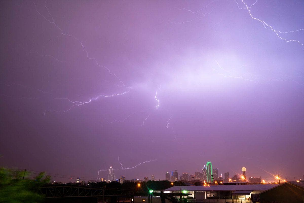
A stretch of potentially dangerous weather is taking shape across the Texas Panhandle, where residents could face hailstones nearly the size of ping-pong balls, damaging winds and thunderstorms capable of producing localized flooding.
The National Weather Service is tracking a developing storm system expected to affect portions of the region Tuesday afternoon and evening, October 13. Communities near Amarillo and Dumas are among those being monitored, with the greatest severe weather potential concentrated in the eastern Panhandle.
Forecasters expect the main window for severe storms to fall between approximately 4 p.m. and 11 p.m. Tuesday. The strongest cells could produce hail large enough to damage vehicles, roofs and outdoor property, along with wind gusts potentially reaching 60 mph. An isolated tornado is also possible, although meteorologists describe that risk as low.
The storms could bring more than just hail
The concern does not end when the strongest thunderstorms move through. Repeated rounds of rain could affect southeastern portions of the Panhandle over the following 48 hours, increasing the possibility of localized flooding in vulnerable areas.
The same weather system is expected to usher in a noticeable temperature change. A cold front arriving during the middle of the week could bring cooler conditions across the region, with some locations seeing daytime temperatures fall into the 50s by Friday and overnight readings potentially dipping into the 40s by the weekend.
The timing and intensity of individual thunderstorms remain uncertain, and the severe weather threat is not uniform across Texas. Residents in Houston, Dallas, San Antonio and other metropolitan areas should not assume the Panhandle’s hail forecast applies directly to their communities.
🌧️TROPICAL DOWNPOURS: A more than a 1,000-mile stretch across parts of the Plains and the Midwest is at risk of severe thunderstorms as moisture from Hurricane Simon, which is churning off the coast of western Mexico, is being funneled north and will enhance storms Tuesday from Texas to Illinois. Details on weeklong flood threat: https://t.co/iEHikZXGMJ
— FOX Weather (@foxweather) October 13, 2026
For people living in the areas most at risk, the immediate priority is practical: move vehicles under cover when possible, secure loose outdoor items and keep weather alerts enabled. Anyone traveling through the Panhandle Tuesday evening should be prepared for rapidly changing visibility and road conditions.
The latest forecast serves as a reminder of how quickly fall weather can shift in Texas, with potentially damaging thunderstorms arriving just ahead of a significant cooldown.
Reporting basis: National Weather Service forecasts as reported by MySA and Chron on October 12–13.
