

WATCH NOW
Watch on the app












Why Miami and South Florida are flooding more often and how it could affect their future
-
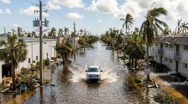
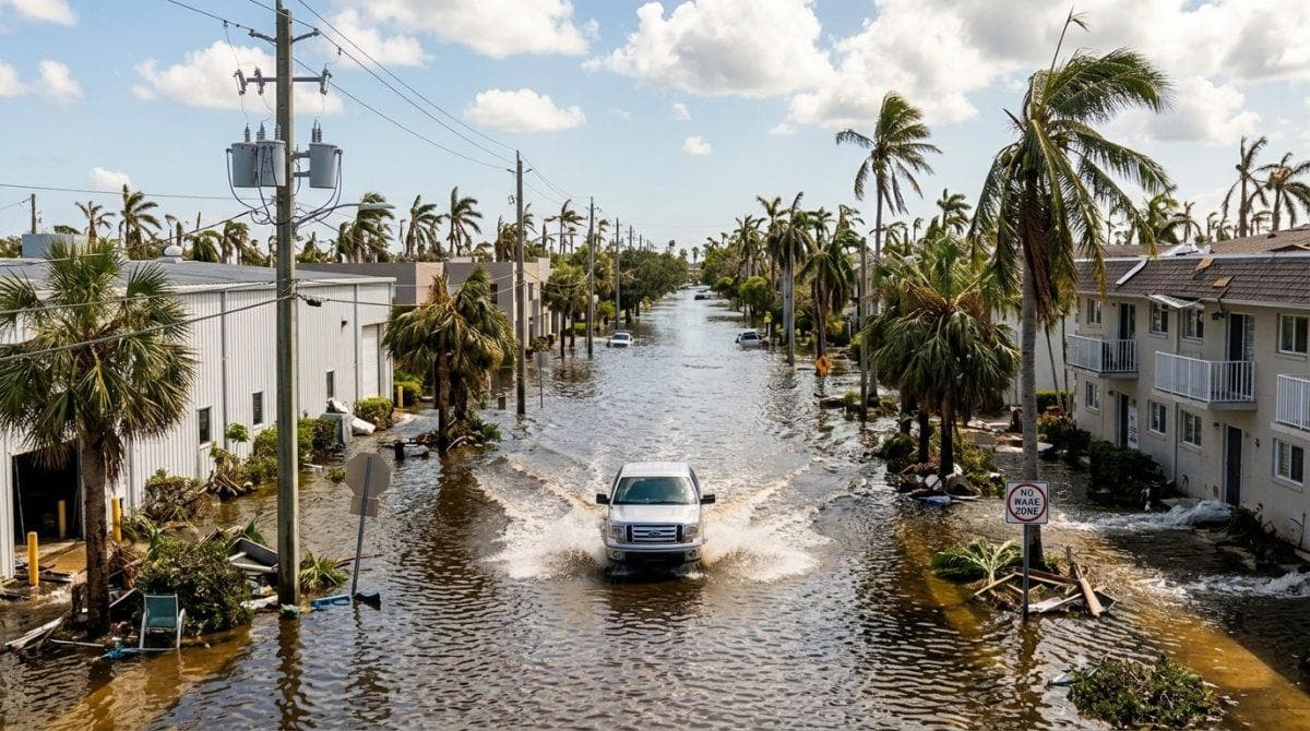
Streets into waterways become a daily reality as coastal water surges flood regional parks while meteorologists warn of worsening conditions over coming days.
-
Coastal wind gusts reaching 45 mph combine with heavy rainfall to push seawater onto inland thoroughfares.
-
Regional authorities invest millions in elevated roads and stormwater upgrades to combat accelerating global sea level projections.
The relentless seasonal water surge continues battering coastal neighborhoods while a South Florida king tides event disrupts daily transit across low lying communities through October 31, leading official bulletins from National Weather Service Miami to confirm that forensic meteorologist Donal Harrigan anticipates major flooding escalation as accelerating sea level rise and onshore winds force Atlantic waters over seawalls, revealing why Miami faces increasingly frequent inundations.
Furthermore, heavy rain projections between 1 and 2 inches threaten coastal counties through midweek, as overflowing ocean surges regularly turn streets into waterways, creating severe traffic disruptions and offering urban planners a clear preview of how rising baselines will alter Miami’s daily future while University of Miami hurricane researcher Brian McNoldy reported on Bluesky that Virginia Key recorded 1.6 feet above normal water levels, marking 5 consecutive days of moderate inundation expected to persist for 4 to 5 more days.
My buddy sent me this video this morning of King tide flooding along Flagler Drive in downtown West apalm Beach. Peak king tides plus 40mph onshore winds making flooding extra bad this morning #florida #flwx https://t.co/lME3anb6MJ
— James Wieland 🏄🏻♂️ (@SurfnWeatherman) October 26, 2026
Severe weather patterns compound as South Florida king tides hit peak levels
Tidal elevations expect to reach their absolute maximum on Tuesday and Wednesday, bringing water levels up to 2.5 feet above normal baseline measurements, as coastal ocean surges turn streets into waterways while maritime data highlights peak flooding windows occurring 1 hour before and after high tide cycles, impacting Miami-Dade at 9 a.m. and 9 p.m. Sunday, 9:45 a.m. and 9:45 p.m. Monday, along with 10:30 a.m. and 10:30 p.m. Tuesday.
On the other hand, Broward County faces high tides at 8 a.m. and 8 p.m. Sunday, 9 a.m. and 9 p.m. Monday, alongside 9:45 a.m. and 9:45 p.m. Tuesday, while a passing low pressure system generates tropical storm force gusts near 45 mph, prompting Harrigan to warn that marine conditions remain completely unsafe for boating or beach visits.
Infrastructure projects adapt to recurring tidal challenges
Ver esta publicación en Instagram
Municipal leaders deploy massive engineering budgets to protect vulnerable public zones; therefore, urban planning committees monitor key long term adaptation projects:
-
Pumping capacity expands across Miami and Coral Gables: Infrastructure teams upgrade stormwater pipelines to prevent streets into waterways from paralyzing local commerce.
-
Roadway elevations proceed in Miami Beach: City engineers raise critical corridors while a South Florida king tides surge pushes seawater through storm drains.
-
Coastal barriers undergo natural restoration: Municipalities like North Miami test living shorelines to absorb rising sea levels.
-
Gale warnings remain active along beaches: Marine patrols advise residents against boating as a South Florida king tides surge combines with vessel operators facing 40 mph sustained offshore winds.
Ver esta publicación en Instagram
Climate predictions highlight risks as streets into waterways expand
Historical records reveal that while sea levels took 80 years to rise 1 foot, 8 inches of that rise occurred over the last 30 years alone, with scientists projecting that the next foot will take 30 years, followed by another foot in just 20 years, making current surges a preview of future baseline sea levels before additional seasonal cycles arrive from November 6 to 9 and November 23 to 26.
“Any location currently wet from high tide will see those conditions aggravated by incoming rain.” — Donal Harrigan
While meteorologists analyze the incoming weather data, state emergency management teams are maintaining constant vigilance in vulnerable coastal districts to ensure that safety protocols effectively protect residents facing seasonal tides caused by the giant tides off the coast of South Florida and Miami.
