

WATCH NOW
Watch on the app














Hurricane Polo is falling apart but what it’s sending toward the U.S. could be the real nightmare
- The weakening of Hurricane Polo over Mexico fails to stop the threat of its dangerous interaction with atmospheric systems discharging abundant moisture across The United States.
- Residents across Texas, Arizona, New Mexico and Colorado prepare to face critical days marked by sudden crests and floods.
- Meteorological authorities maintain strict surveillance amid soil saturation and advancing storms stretching across several days.
The impact of Hurricane Polo remnants and flood alerts across the Southwest
The hurricane season shakes The United States once again after the remnants of Hurricane Polo begin leaving intense precipitation and a deeply complex outlook across multiple regions of the country. Although this meteorological phenomenon lost strength after making landfall on the Baja California peninsula, its remnant circulation remains a threat while dragging an immense mass of tropical moisture that, upon combining with an upper-level low pressure system originating from the Four Corners zone, unleashes persistent storms across states like Arizona, New Mexico, Colorado, Kansas and western Texas.
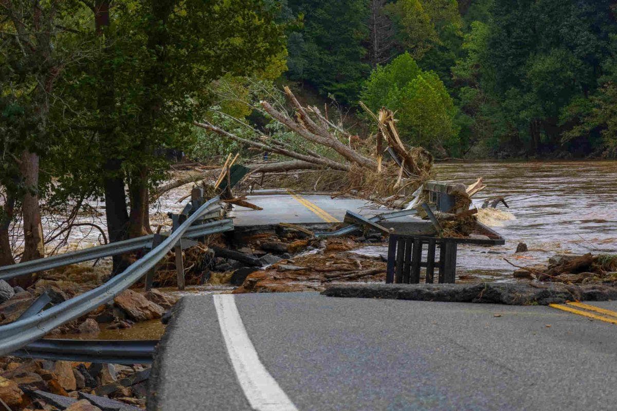
Consequently, National Weather Service offices issued early alerts because the soils across these zones already present high levels of accumulated moisture, drastically raising the risk of severe waterlogging in urban areas, floods, secondary routes and minor streams over the coming days, while local Latino communities stay attentive to emergency notices.
Dallas-Fort Worth and the advance of precipitation toward Texas territory
Similarly, as hours pass, the severe weather core from these Hurricane Polo storms intensifies its movement toward Texas territory, placing the Dallas-Fort Worth metropolitan area under a rigorous threat and flood watch due to continuous rain forecasts. Likewise, meteorological projections across The United States indicate that precipitation will reach its most critical point between Wednesday afternoon and the course of Thursday, accumulating significant water volumes that could overwhelm drainage capacity across various urban and rural sectors in Arizona and other states.
Furthermore, experts warn that ground conditions sharpen the danger since last week’s precipitation left soils completely compacted and devoid of absorption capacity, accelerating the formation of dangerous currents capable of sweeping away vehicles and putting both drivers and local residents transiting main highways in a tight spot.
Precautionary measures and monitoring amid the persistent threat across multiple states
On the other hand, facing this imminent risk scenario driven by the threat of Hurricane Polo and its havoc, civil protection agencies recommend that the population stay informed through official reports and strictly avoid traveling across zones experiencing floods or rural roads prone to overflows. Moreover, the latent storm threat will remain active until the end of the week, encompassing not only Texas and Arizona but extending its influence toward the plains and the center of the country with successive rounds of electrical storms discharging substantial water accumulations. For this reason, authorities insist on immediately heeding evacuation or shelter warnings if weather conditions worsen suddenly within areas designated under red alert, always prioritizing family safety in the face of unforeseen overflows.
Ver esta publicación en Instagram
