

WATCH NOW
Watch on the app






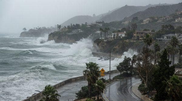




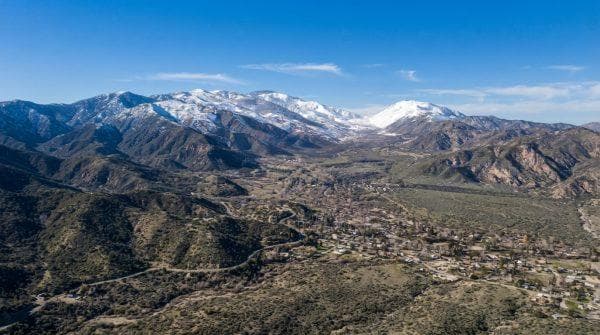



California is in the path of Hurricane Polo’s tropical moisture: where flooding could become a concern
-
California tropical storm system risks trigger widespread emergency declarations across vulnerable regional communities and infrastructure.
-
Hurricane Polo advances aggressively toward northwestern Mexico while atmospheric moisture directly impacts neighboring coastal sectors.
-
Forecasters track severe rainfall accumulations reaching up to 10 in alongside escalating flood and landslide threats.
Hurricane Polo maintains its structural intensity as the powerful weather phenomenon moves toward Baja California, bringing significant atmospheric changes across the region, while state authorities monitor meteorological updates closely and emergency management teams prepare infrastructure for potential hazards. Officials confirm that the system approaches decisive landfall stages with a force near a major hurricane, whereas local communities brace for severe environmental shifts, meaning this weather event demands absolute preparedness from regional sectors and meteorological experts evaluate ongoing trajectory modifications continuously.
Ver esta publicación en Instagram
Hurricane Polo tracking and official institutional warnings
The National Hurricane Center establishes maximum sustained winds reaching 115 mph, whereas atmospheric pressure metrics fluctuate across coastal zones and executive representatives activate preventative protocols while meteorologists project extensive rainfall accumulations affecting multiple southwestern territories simultaneously.
Meanwhile, specialized analysts report that Polo maintains stable convective structures during recent hours, although the eye displays an irregular appearance and the inner core weakens slightly while the California tropical storm system preserves considerable overall intensity, proving that this weather event remains dynamic.
Subsequently, official tracking data indicates that the system moves toward the north, northeast with expected trajectory paths reaching the Baja California peninsula, whereas specialized forecasters outline precise chronological intensity changes as the storm progresses. Specific meteorological projections outline a wind velocity decrease to 110 mph twelve hours after initial tracking, followed by a further reduction to 86 mph over the eastern portion of the peninsula within twenty four hours, while final modeling estimates winds dropping to 46 mph thirty six hours post landfall over mainland Mexican territory due to rugged mountainous terrain friction.
Regional infrastructure and emergency response evaluations featuring hurricane
-
Governor Gavin Newsom declares an official state of emergency across vulnerable sectors to accelerate resource allocation, whereas emergency management divisions establish secure shelters throughout zones identified with high flood susceptibility and steep slopes where extreme precipitation elevates landslide hazards related to the California tropical storm system.
-
Public safety departments deploy specialized personnel to monitor hazardous mountain passes and coastal highways, while transportation authorities issue temporary transit restrictions across regions expecting extreme precipitation totals.
-
Municipal networks assess structural integrity safeguards, whereas community organizations distribute comprehensive preparedness guides to residents and local agencies coordinate logistical support operations.
-
Emergency response teams remain on high alert throughout the duration of the weather event, while municipal leaders allocate dedicated emergency funds to support swift recovery operations.
California tropical storm system agricultural impact and economic risk assessments
Agricultural specialists evaluate potential crop damage resulting from excessive moisture levels, whereas commercial sectors adjust standard operating procedures and insurance providers process preliminary risk assessments for commercial properties while institutional stakeholders prioritize long term mitigation strategies, reflecting the broad regional reach of regional weather patterns.
Concurrently, economic analysts review infrastructural vulnerabilities across urban sectors, although regional markets maintain steady operational continuity during the alert period, while broader regional impact assessments confirm that adverse effects from the California tropical storm system extend beyond local boundaries to affect Arizona, New Mexico and the northwestern sector of Texas.
Equally important, specialized teams project a secondary landfall occurring across northwestern Mexico between Monday night and early Tuesday morning, proving that regional authorities manage the meteorological phenomenon and Hurricane Polo effectively.
Ver esta publicación en Instagram
High-risk zones where flooding and severe impacts concentrate
-
Steep terrain zones: Mountainous areas and regions with pronounced slopes face severe flash flood alerts as up to 10 in of rain trigger dangerous runoff and debris flows.
-
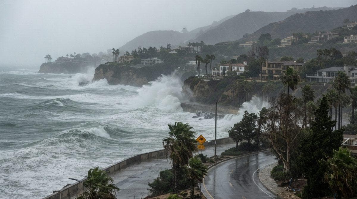
Low lying coastal corridors: Coastal sectors experience heightened water accumulation due to combined storm surge influences and persistent atmospheric moisture bands.
-
Urban drainage networks: City centers across affected southwestern territories encounter overwhelming stormwater volumes requiring immediate municipal intervention and transit restrictions, all triggered by the California tropical storm system.
