

WATCH NOW
Watch on the app











Florida’s latest floods raise a troubling question about El Niño and what’s coming next
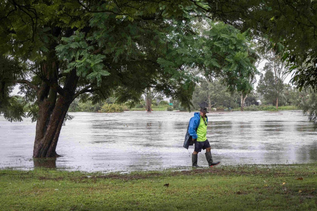
- Severe Florida floods raise serious doubts among experts regarding the destructive force of the El Niño phenomenon in coming months.
- Localities like Brevard County recorded between 12 and 24 inches of accumulated rainfall without a regional tropical storm, evidencing climate change.
- Meteorologist Jeff Berardelli warns that a warmer atmosphere combined with this oceanic pattern could intensify extreme weather episodes.
The impact of Florida floods and the disturbing footprint of the atmospheric phenomenon
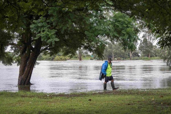
Recent weather events leaving multiple East Coast communities underwater spark deep collective fear, as intense Florida floods open a troubling question about the impact of the El Niño phenomenon and what is coming next for the region. In this regard, the magnitude of precipitation and rainfall registered between late October and early November forced the National Weather Service to issue critical emergency alerts, highlighting particularly severe episodes in Brevard County where water compelled families to evacuate toward higher ground protecting their lives.
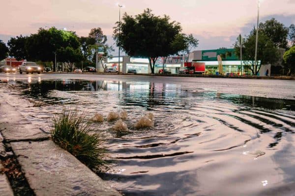
Facing this desolate scenario, renowned meteorologist Jeff Berardelli stated with astonishment that never before in his professional career had he witnessed climate change featuring a phenomenon of such ferocity without a cyclone present, accumulating incredible records of 12 to 24 inches of water transforming entire streets into rushing urban rivers.
Scientific causes behind the disaster and questions regarding what lies ahead
Thus, understanding what triggered such overflowing requires examining the combination of thermal and atmospheric factors, because the presence of Florida floods demonstrates how the El Niño phenomenon drastically alters Gulf of Mexico jet streams. Likewise, technical analysis from the meteorological agency detailed the alignment of a shortwave trough stretching from the Missouri River with a massive warm moist air mass, emulating devastating patterns the state already suffered during historical climate events of 1982 and 1997. However, the major doubt unsettling scientists centers on what is coming next for the local population, given that despite this pattern reducing Atlantic hurricane numbers, registering barely a major storm in 2026, it proves that an overheated global atmosphere can unleash destructive rainstorms at any moment of the year.
Ver esta publicación en Instagram
Community preparation plans facing an uncertain climate future
In this sense, the tranquility of weathering a season with few cyclones dissipates completely before the reality of waterlogged streets, reaffirming that Florida floods tied to the El Niño phenomenon will keep rewriting official forecasts toward year-end. Similarly, the scientific community agrees that alterations in precipitation and rainfall will continue affecting the southeastern United States with greater frequency and intensity, prompting state authorities to insist on maintaining constant vigilance over weather updates. Consequently, confronting immediate challenges and climate change demands that coastal zone residents reinforce domestic protection systems and infrastructure, transforming daily prevention into the sole effective tool answering uncomfortable questions about the peninsula’s meteorological future.
Preventive measures and future uncertainty
- Continuous monitoring of official alerts: Government agencies urge citizens against lowering their guard despite low cyclonic activity.
- Long-term community adaptation: Local authorities work on reinforcing coastal infrastructure amid persisting extreme episodes.
