

WATCH NOW
Watch on the app












Florida flooding could return as heavy rain threatens parts of the state
- The National Weather Service warns about an intense streak of thunderstorms and precipitation affecting diverse regions of Florida throughout the entire weekend.
- Authorities issued urgent flood warnings in counties like Broward and Palm Beach due to the rapid accumulation of water in urban areas with poor drainage.
- Although no active cyclonic threat exists in the Gulf of Mexico, the persistence of local atmospheric systems forces extreme precautions while driving through heavy rains.
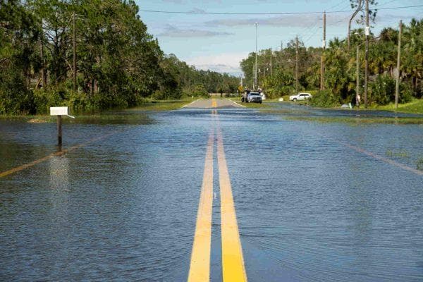
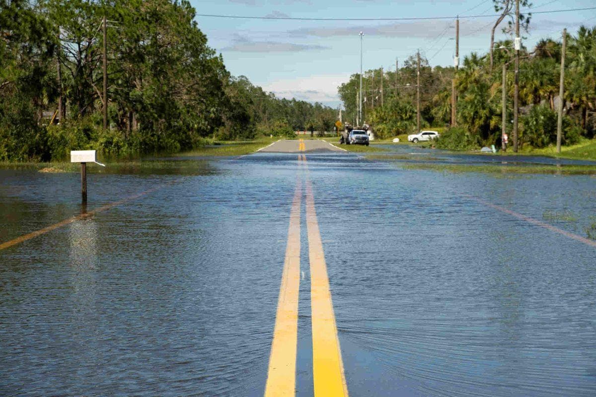
Streets and communities across Florida prepare to face several consecutive days of heavy rains and thunderstorms that alarmingly increase the risk of localized floods in urban sectors with poor drainage. According to reports shared by the National Weather Service, atmospheric instability began hitting the southern part of the state hard through active warnings for Broward and Palm Beach counties, where initial accumulations already surpassed two inches of water. Consequently, this meteorological outlook forces drivers and area residents to remain extremely alert regarding potential sudden waterlogging that complicates daily mobility and tests local infrastructure.
Key factors behind the storm and highest-risk zones across the Florida territory
The primary trigger for this bad weather episode in Florida alongside heavy rains and thunderstorms responds to an upper-level atmospheric low advancing toward the Gulf of Mexico, which will drastically increase tropical moisture over the southern region of the state. Because of this, storms acquire a semi-stationary behavior capable of dumping massive amounts of water onto the exact same neighborhood within minutes, just as local communities like Fort Lauderdale, Pompano Beach, Naples, and Fort Myers already experienced. Therefore, the unpredictability of these storm cells proves that uniform statewide rainfall is unnecessary to cause havoc or floods, turning daily weather monitoring into an indispensable tool to avoid unpleasant surprises behind the wheel.
Official recommendations and essential precautions facing imminent danger on the streets
Facing the persistence of this cycle of precipitation and heavy rains throughout the weekend and early next week in Florida, emergency agencies and the National Weather Service remind drivers of the golden rule never to attempt crossing streets or avenues compromised by floods. Similarly, standing water frequently conceals severe structural damage in the asphalt or a depth capable of sweeping away vehicles within seconds, making the review of weather reports before leaving home an absolute priority amid these thunderstorms. Thus, the Florida community must redouble caution against this climatic phenomenon which, without constituting a formal hurricane, possesses sufficient force to paralyze entire neighborhoods and compromise the safety of thousands of people.
A plume of moisture will continue to advect across the Southwest, maintaining a flash flood threat across burn scars, slot canyons, and saturated soils. Across the Northern Plains, expect heavy rainfall (2-4 inches) later today with a flash flood threat. pic.twitter.com/yVXhmImjUb
— NWS Weather Prediction Center (@NWSWPC) September 17, 2026
