

WATCH NOW
Watch on the app







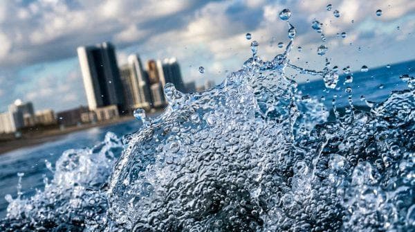
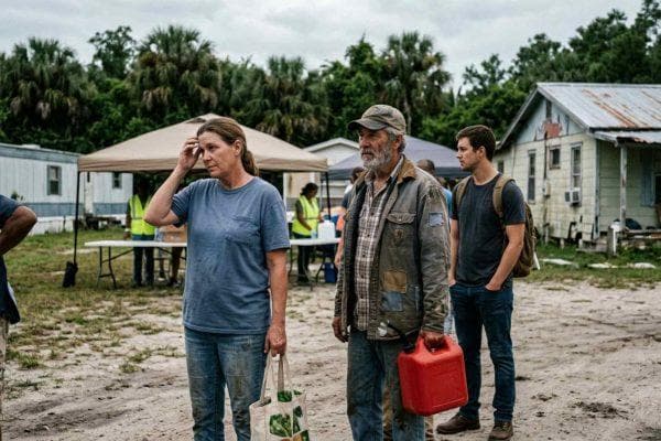






Florida and California are seeing higher coastal waters and the Moon is only part of the story
-
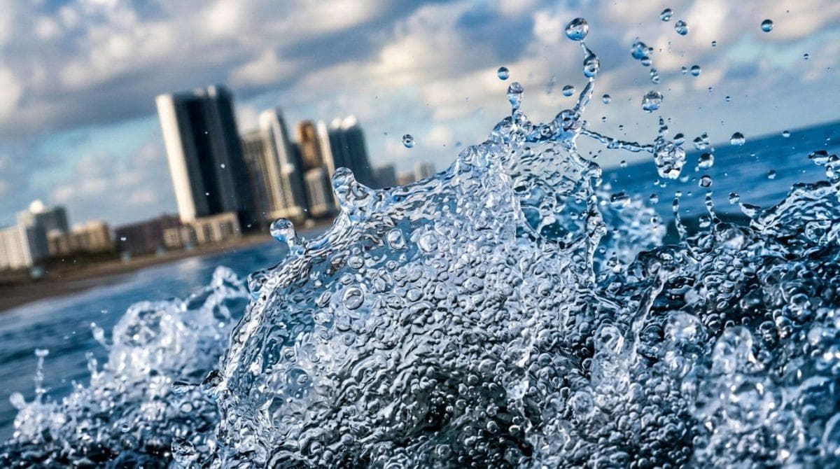
Higher coastal waters driven by thermal expansion and atmospheric pressure overlap with astronomical alignments.
-
Meteorological experts track intensifying tropical storm-force winds and Pacific thermal anomalies that threaten residential infrastructure nationwide.
-
Emergency management agencies deploy advanced monitoring protocols to safeguard vulnerable communities from progressive erosion.
Meteorologist Carlos Robles and National Weather Service expert Bob Oravec warn that the coasts of Florida and California are facing an unprecedented rise in sea level, in which the Moon is only part of the problem, as complex atmospheric and oceanographic forces combine with warmer than usual waters, El Niño and coastal storms to create recurring emergencies in coastal communities across the United States.
Crucially, experts emphasize that lunar cycles alone fail to account for the expanding floods, meaning intense weather systems and global warming drive higher coastal waters to unleash severe overflows from Miami to the residential zones of the Carolinas.
Meteorological factors for coasts of Florida and California
On the other hand, experts explain that the gravitational interaction between Earth, the Moon, and the Sun generates extreme king tides, but higher coastal waters also respond to punishing northeast winds reaching speeds between 35 and 40 mph, equivalent to 56 and 64 km/h, while ocean temperatures remain unseasonably elevated in the upper 70s Fahrenheit.
Specifically, these powerful gusts push immense masses of ocean water directly toward inhabited beaches, meaning the combined force of high and low atmospheric pressure drastically worsens coastal flooding across multiple vulnerable regions while registering an intensity comparable to a tropical depression or tropical storm.
Institutional protocols for higher coastal waters defense
In addition, government authorities implement emergency strategies to safeguard urban infrastructure by utilizing operational resources that include higher coastal waters in the following monitoring and mitigation measures:
-
Permanent technical evaluations utilizing satellite sensors managed by the National Oceanic and Atmospheric Administration across the coasts of Florida and California.
-
Issuance of early warnings for residents from Miami to North Carolina regarding potential coastal overflow events.
-
Deployment of municipal crews to reinforce containment dikes in high-risk zones.
-
Coordination with meteorological centers to track the evolution of Kelvin waves across the Pacific Ocean.
Ver esta publicación en Instagram -
Structural inspections of seawalls to prevent major damages caused by heavy surf conditions.
Undoubtedly, specialists emphasize that contingency plans require constant updates, because the persistence of these complex climatic phenomena demands much more agile and coordinated institutional responses.
⚠️ Record-setting King Tide in Newport Beach today, the highest ever. El Niño’s Kelvin wave has the sea water running up to 22 inches above predictions, and with this king tide stacked on top, harbor water is reaching the front doors of bayfront homes. #orangcounty #breaking https://t.co/BxD5AZaEt6
— Surflick (@Surflick) October 27, 2026
Thermal expansion impacts along western shores
Moreover, along western shores the situation becomes critical because the El Niño phenomenon increases Pacific Ocean temperatures, resulting in higher coastal waters and the thermal expansion of warm water notably raising overall marine volume.
Naturally, Kelvin waves transport heat along oceanic currents from South America and Central America all the way to North America throughout the summer and early autumn, proving that the coincidence of these thermal anomalies with higher coastal waters cements a scenario of permanent vulnerability for the coasts of Florida and California.
Record tidal milestones and climate adaptation challenges
Furthermore, marine researchers including Brian McNoldy from the University of Miami and Melbourne meteorologist Megan Tollefsen report that San Pedro in the Port of Los Angeles reached an historic peak of over 8 feet on October 26, surpassing the previous 2005 record and data dating back to November 1923, while La Jolla touched 7.79 feet, storm surges covered vast acreage measured in square feet of commercial property, and Port Canaveral logged its highest non-tropical water level since October 1994.
Similarly, Miami secured four records in five days pointing toward an unprecedented ten-day streak, and Erika Spanger from the Union of Concerned Scientists stresses that communities must prepare for compounding coastal risks, while USA TODAY national correspondent Dinah Voyles Pulver notes that Outer Banks roads face emergency closures alongside Hollywood and southern California rainfall models showing 250% of normal moisture for Halloween weekend.
