

WATCH NOW
Watch on the app





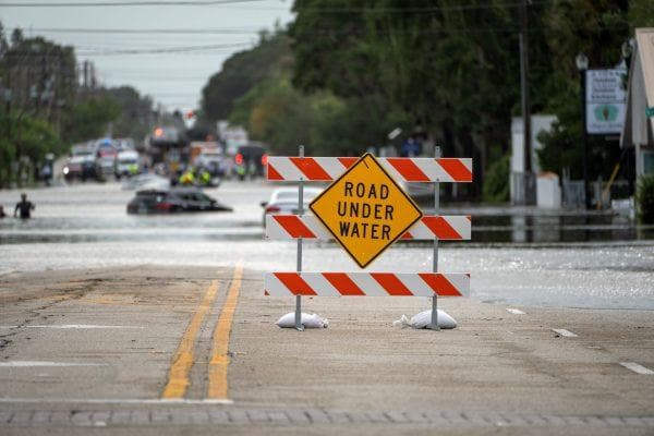









Has Super El Niño started in Florida? Nonstop rain and flooding reveal a troubling truth
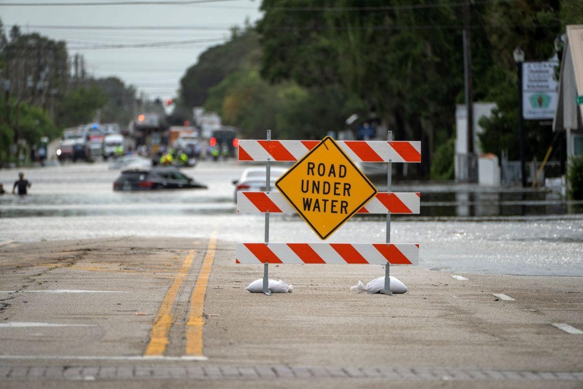
Florida residents are watching streets disappear beneath floodwater after days of relentless rain, with some communities receiving months’ worth of precipitation in barely 36 hours. From Melbourne to Palm Beach County, the downpours have flooded homes, stranded drivers and disrupted daily life. And as the state deals with one of its most extraordinary November rain events, a bigger question is emerging: Is this the beginning of the powerful super El Niño meteorologists have been warning about?
The answer is partly yes, but not in the way many people might think. El Niño has already developed in the Pacific Ocean and is growing stronger, according to the National Oceanic and Atmospheric Administration (NOAA). However, that doesn’t mean it directly caused Florida’s latest flooding. The immediate culprit is a weather system that lingered over the peninsula, drawing unusually moist Atlantic air inland and allowing heavy showers to repeatedly soak the same areas.
Crazy flooding as Florida Panthers fans leave the stadium tonight🌊😳| #ONLYinDADE https://t.co/fF9p7elOjT
— ONLY in DADE (@ONLYinDADE) November 3, 2026
Why Florida is flooding as El Niño strengthens
The rainfall totals show just how serious the situation has become. By Tuesday morning, November 3, the National Weather Service had recorded more than 24 inches of rain near Malabar in Brevard County and more than 22 inches near West Palm Beach since Sunday. The flooding forced road closures, trapped vehicles and sent water into homes. A powerful high-pressure system north of Florida pushed moist air toward the coast, while an area of low pressure over the Gulf helped sustain the rainfall. With the weather pattern moving slowly, the storms kept returning instead of passing through.
But the connection to El Niño is what makes the coming months particularly important. The phenomenon begins when waters in the equatorial Pacific become unusually warm, changing atmospheric circulation thousands of miles away. During Florida’s winter, those changes can push the jet stream farther south, bringing more frequent storms and above-average rainfall. NOAA’s October outlook gave a greater than 83% chance of strong to very strong El Niño conditions continuing through January to March 2027.
A 17-year-old girl waded through deep floodwaters on her way home from her school bus stop in Florida. Her family says the flooding was the worst they’ve seen in years, leaving roads submerged and one of their vehicles floating in the street. https://t.co/TiO9FiRfp1
— AccuWeather (@accuweather) November 3, 2026
Could Florida face even more flooding this winter?
That is the concern, although seasonal forecasts cannot tell residents exactly when or where the next major storm will strike. The National Weather Service expects a wetter-than-normal winter across parts of Florida, while federal climate researchers warn that repeated rainfall could increase localized flooding, particularly where the ground is already saturated. El Niño raises the odds of a stormier season, but it does not guarantee that every storm will be severe.
For Floridians still dealing with flooded roads and damaged property, the distinction matters. The current emergency has a specific weather explanation, while El Niño is a larger climate pattern that could influence what happens next. The troubling reality is not that one phenomenon explains every drop of rain, but that Florida is already experiencing destructive flooding just as forecasts point toward an unusually wet winter.
